
ORLANDO, Fla. — After a few days of churning in the south-central Caribbean, Melissa will become a hurricane today.
It is still a relatively slow-moving storm moving at less than 5 mph towards the west.
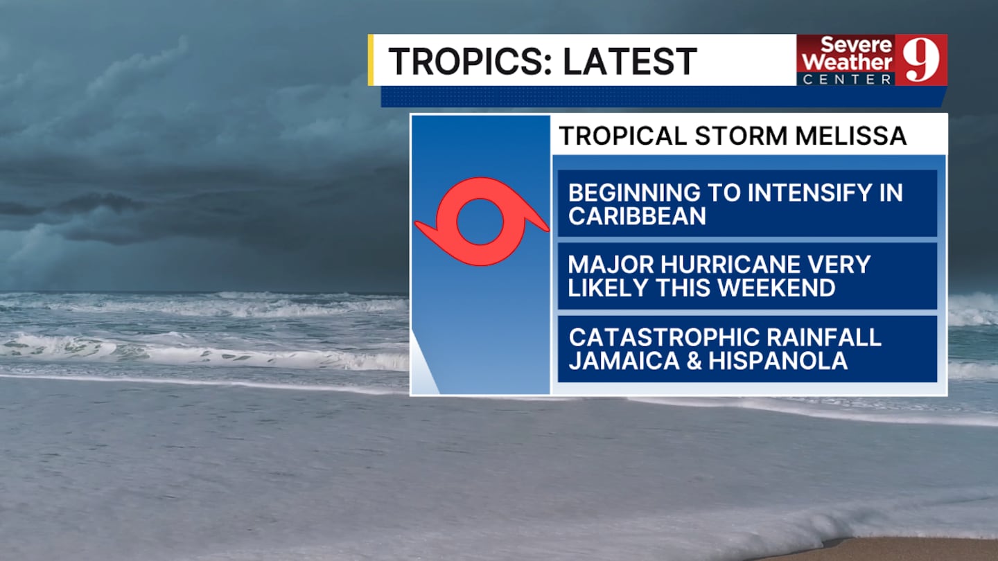
It is likely to continue to strengthen at a very fast rate throughout the whole weekend.
Rapid intensification is something expected to start off today due to the warm waters in the area.
It should be a Category 2 hurricane with winds of 100 mph by the end of the day today.
By tomorrow, it could be a Category 4 storm with winds around 150 mph.
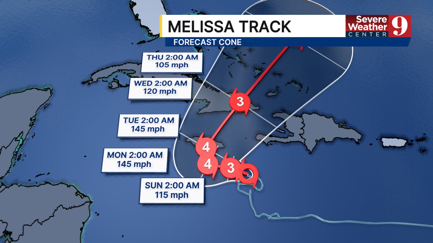
It is still not expected to make landfall until overnight Monday into Tuesday, when it will likely maintain its current strength.
The vast majority of models have it making landfall in Jamaica and then moving quickly through the Caribbean.
Since it moves very slowly, some areas of Jamaica could receive as much as 20 to 30 inches of rain.
Click here to download our free news, weather and smart TV apps. And click here to stream Channel 9 Eyewitness News live.

©2025 Cox Media Group


