
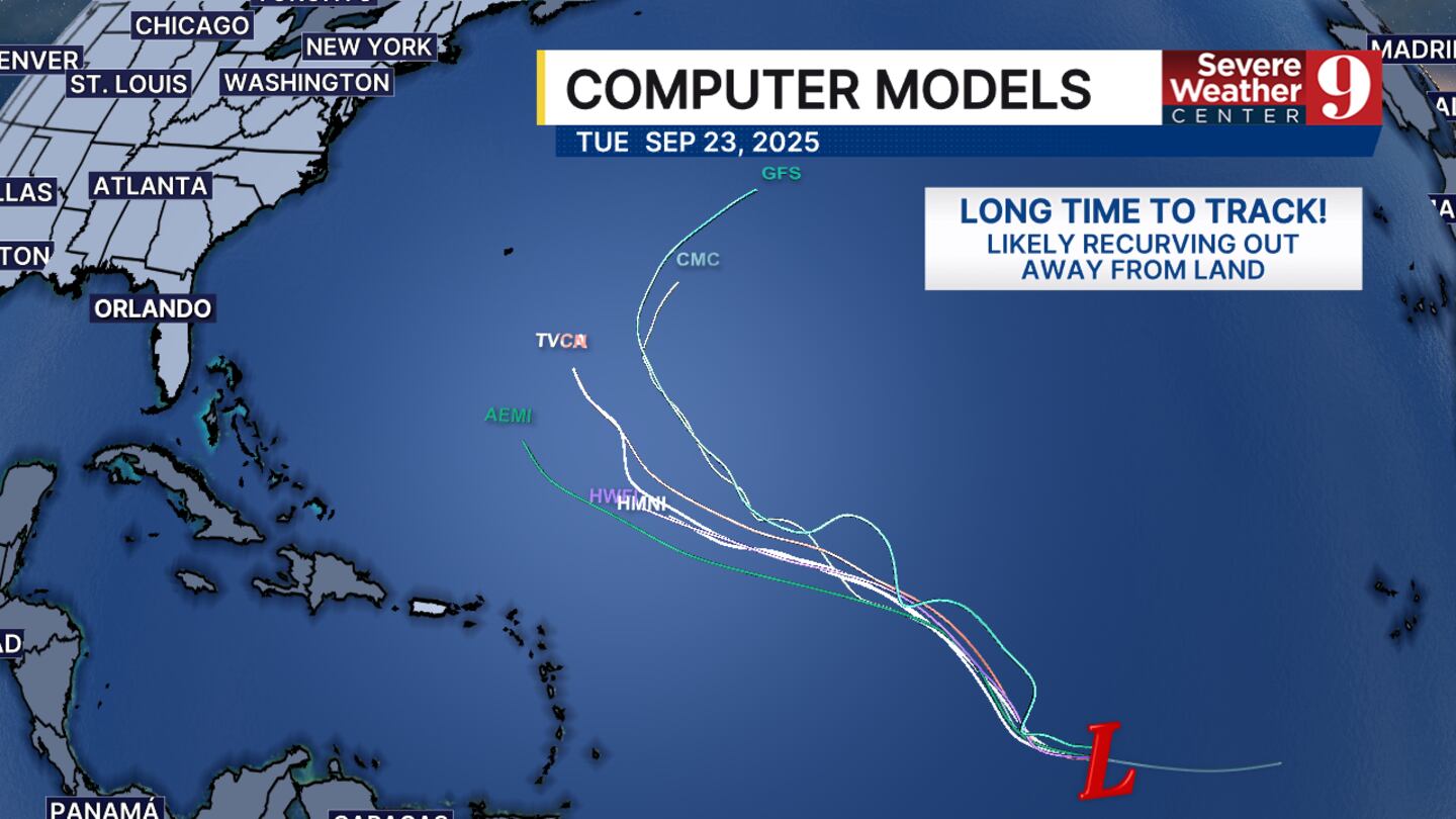
ORLANDO, Fla. — We are continuing to track Invest 92L that will likely develop into our next tropical depression by the end of this week.
Conditions are becoming favorable in the central Atlantic for this tropical wave to gain proper form. Once it does develop into a tropical depression, it won’t be long before it becomes Tropical Storm Gabrielle.
There are a couple factors working against invest 92L. First of which is the Saharan dust which has been covering the central Atlantic. The dust paired with strong upper level winds make it hard for the tropical wave to build upwards and gain strength.
The factors working in favor of development are the weak wind shear in that portion of the Atlantic and the warmer than average water temperatures we are seeing in that area of the Atlantic as well.
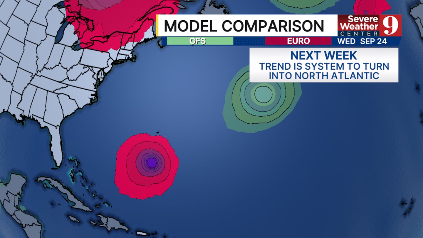
Once this tropical wave forms, it is most likely to turn towards the north, similar to what we saw with Hurricane Erin. This will be due to a cold front moving across the country and forcing the tropical system northward before it can make landfall in either the Caribbean or the United States.
If it were to make landfall anywhere it will be most likely to occur in Bermuda by the middle of next week.
A lot can change in between now and then and there will be plenty to watch in the forecast when it comes to the tropics as we are just past the peak of hurricane season.
Click here to download our free news, weather and smart TV apps. And click here to stream Channel 9 Eyewitness News live.

©2025 Cox Media Group


