
ORLANDO, Fla. — Hurricane Erin has weakened slightly overnight but remains a very strong storm with winds well over 120 mph, making it still a major hurricane.
The track remains mostly unchanged. It will start making that northern turn in the next 24 hours. This will keep the storm at least 400 to 500 miles away from Florida.
Since the storm will be far away, we won’t experience any direct impacts from the outer bands. However, we will see some pretty big swells heading our way, especially in the middle of this upcoming week.
Waves could be head to overhead high between Tuesday and Thursday, with the biggest day being Wednesday.
That day could feature waves well overhead with 15 to 17 second periods. New Smyrna will likely have the biggest surf.
The storm will maintain its strength as it moves between the Atlantic coast and Bermuda. It will eventually dissipate completely by next weekend without making landfall.
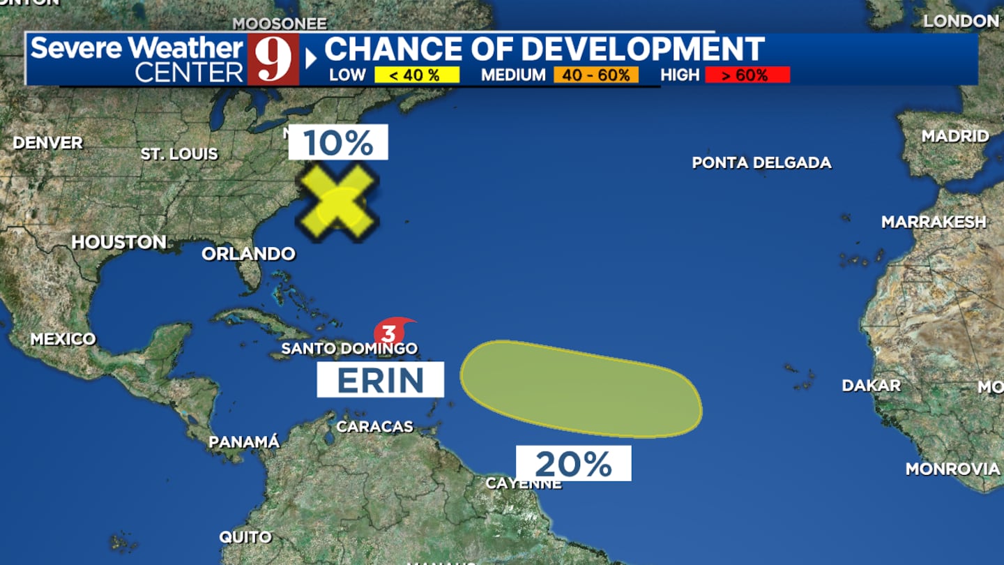
We will also continue monitoring two more areas of interest in the coming days.
Click here to download our free news, weather and smart TV apps. And click here to stream Channel 9 Eyewitness News live.

©2025 Cox Media Group


