ORLANDO, Fla. — Weather alerts are in effect across Central Florida as the potential for heavy rain and flooding continues Wednesday.
7:30 a.m. update:
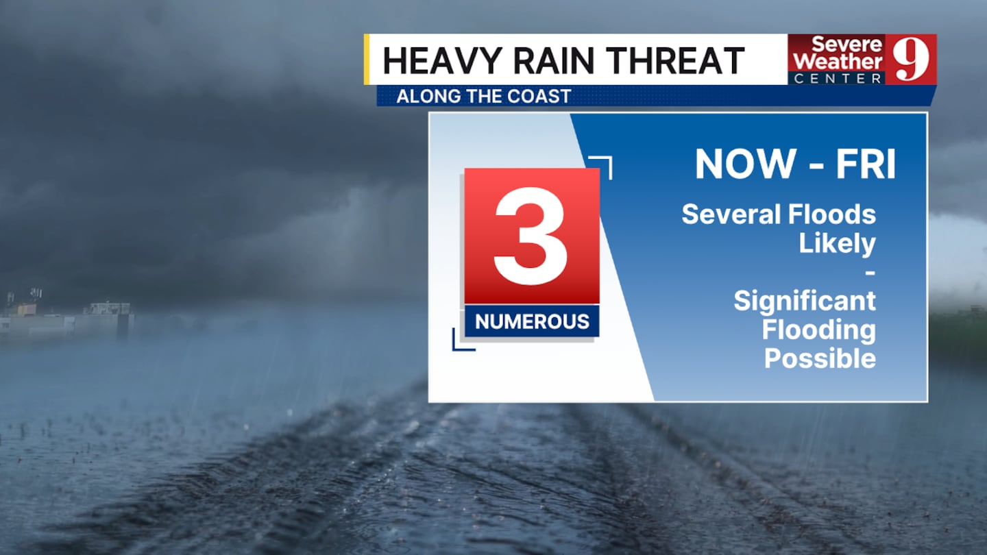
Portions of the coast are under a moderate risk of flash flooding through Friday as unsettled weather brings waves of heavy rain to the region.
As of 7 a.m., most of the heavy rain remained offshore and no flooding was reported.
No active flood warnings, flash flood warnings or flood advisories had been issued since 2:30 a.m., though that offshore pattern is not expected to hold through the rest of the week.
WATCH: Brevard County residents seek FEMA aid after historic rainfall
Three-day rainfall totals near the coastline are expected to reach eight to 12 inches, with isolated spots potentially receiving more than 12 inches.
Three-day totals near Interstate 4 are forecast to reach four to six inches, while inland areas are expected to see one to three inches.
Original report:
Portions of the region face a level three heavy rain risk, which means an elevated chance for flooding and flash flooding, specifically in Brevard County.
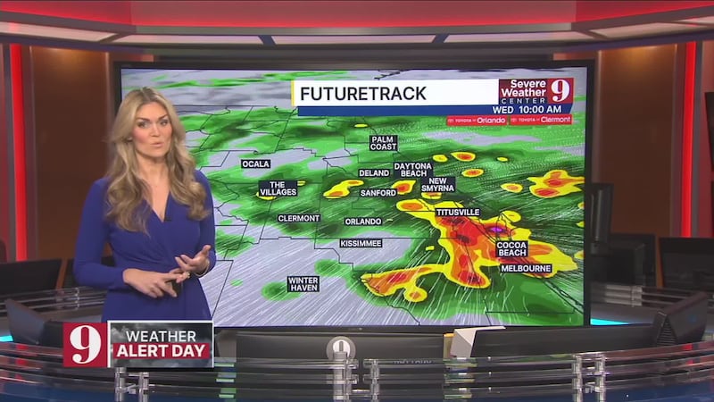
The area could see multiple inches of rain Wednesday, with eight to 12 inches possible all week.
The soil and ground are very saturated, meaning there is less opportunity for water to soak into the ground and flooding could occur faster than normal.
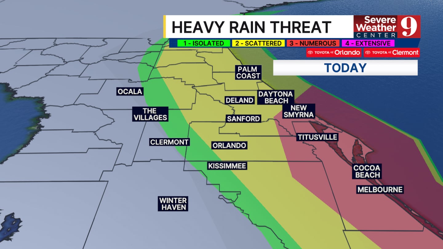
This unsettled pattern continues all week, with the flooding threat persisting through Thursday and Friday as well.
Click here to download our free news, weather and smart TV apps. And click here to stream Channel 9 Eyewitness News live.

©2026 Cox Media Group


