ORLANDO, Fla. — It’s been a warm Saturday with scattered storms across the area, and more of the same is expected for Sunday.
The rain and storms will slowly fade away late this evening, with variable clouds overnight. Expect morning lows in the upper 70s.
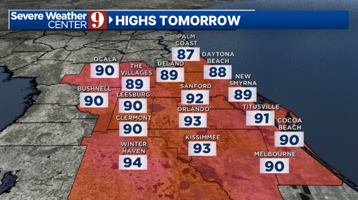
More warmth is ahead for Sunday, along with rain and storm chances. The activity will get going in the afternoon hours, with slightly cooler highs in the low 90s.
Lower rain and storms chances are expected to start next week, with more warmth. Highs for Monday will be in the low 90s.
As Hurricane Erin lifts northward into the Atlantic, it will drag drier air into Florida. The result will be lower rain and storm chances midweek, with temps in the mid 90s.
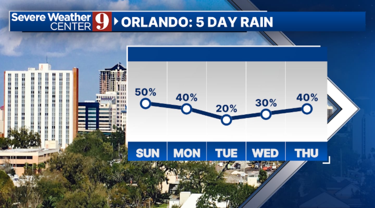
The moisture looks to quickly build for the back end of next week, with temps holding in the mid 90s.
Click here to download our free news, weather and smart TV apps. And click here to stream Channel 9 Eyewitness News live.

©2025 Cox Media Group