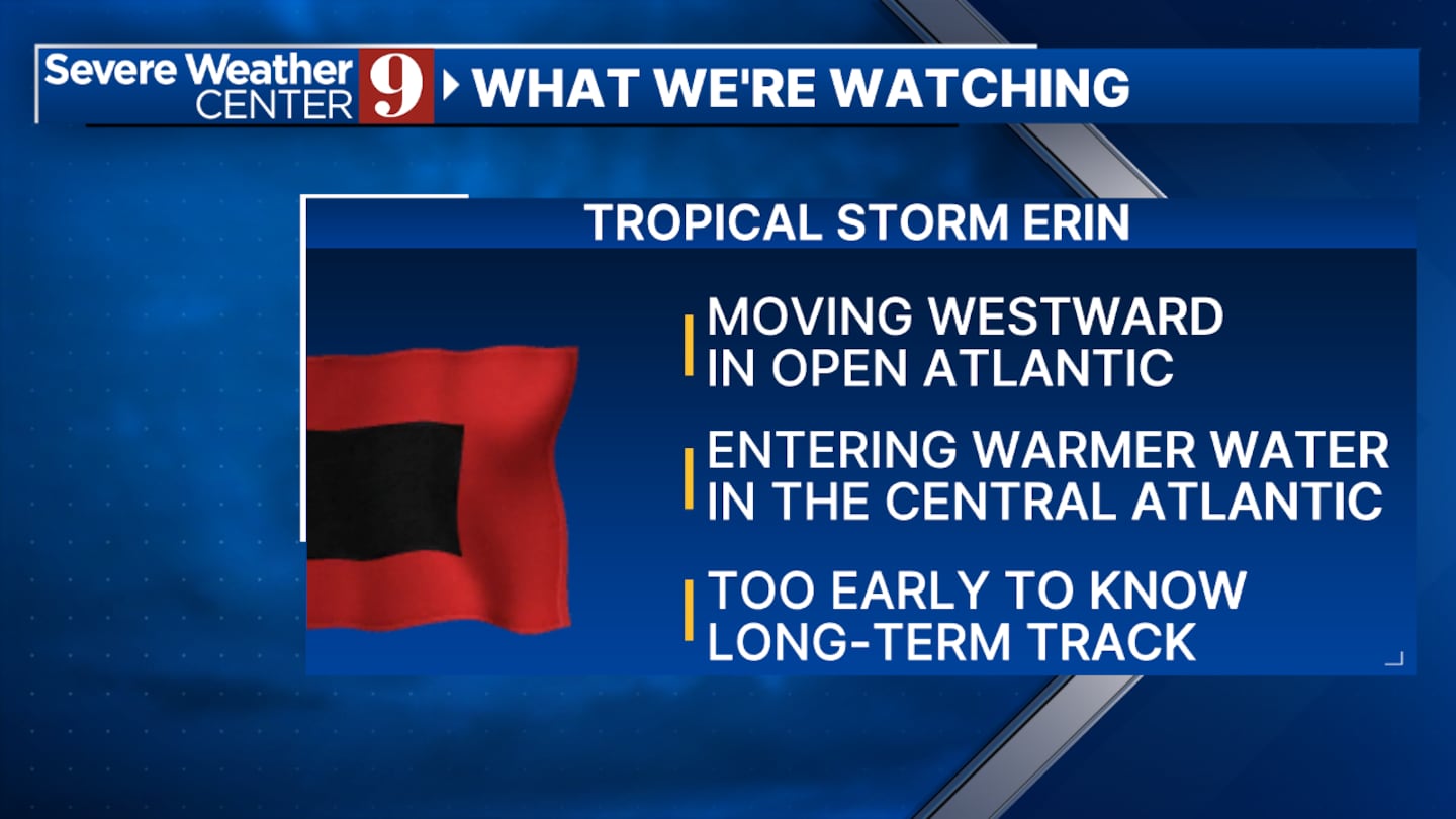
ORLANDO, Fla. — Tropical Storm Erin is rapidly strengthening in the Atlantic Ocean.
10:20 a.m. update:
The National Hurricane Center confirmed Monday that Tropical Storm Erin has formed in the Eastern Atlantic.
The rapid strengthening is alarming, but it’s still too soon to know where Erin will go.
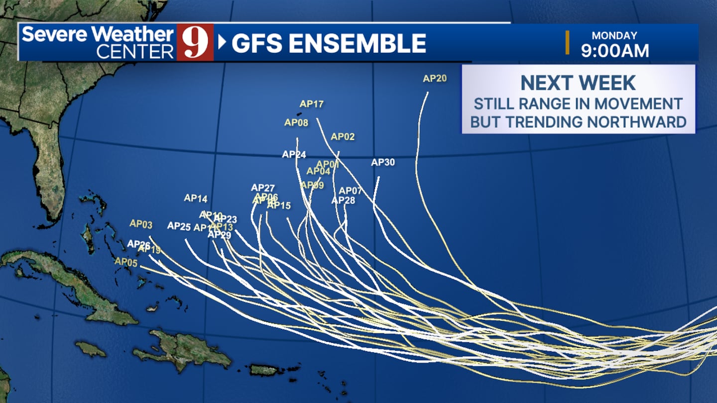
Most extended models have the storm turning to the north before it reaches the Caribbean.
The system is moving into warmer waters and could intensify into a major Category 3 hurricane by the weekend.
Channel 9 meteorologists will continue to monitor the storm and provide updates on Eyewitness News.
Original report:
Meteorologists are closely monitoring Invest 97-L as it becomes better organized. It has the potential to develop into a Tropical Depression within the next 24 to 30 hours.
Invest 97-L, currently over 3,000 miles from Florida’s East Coast, may become the next named system, Erin, by mid-week.
While it is too early to determine if the United States will be affected, experts are keeping a close watch on its progress.
In addition to Invest 97-L, Invest 96-L is an area of disorganized showers and storms located over the Central Atlantic.
This system has a low 20% chance of developing into a tropical system over the next seven days and is expected to remain over the open Atlantic.
As Invest 97-L continues to evolve, meteorologists will provide updates on its development and potential impact.
Meanwhile, Invest 96-L poses little threat as it is likely to stay over the open ocean.
Click here to download our free news, weather and smart TV apps. And click here to stream Channel 9 Eyewitness News live.

©2025 Cox Media Group