
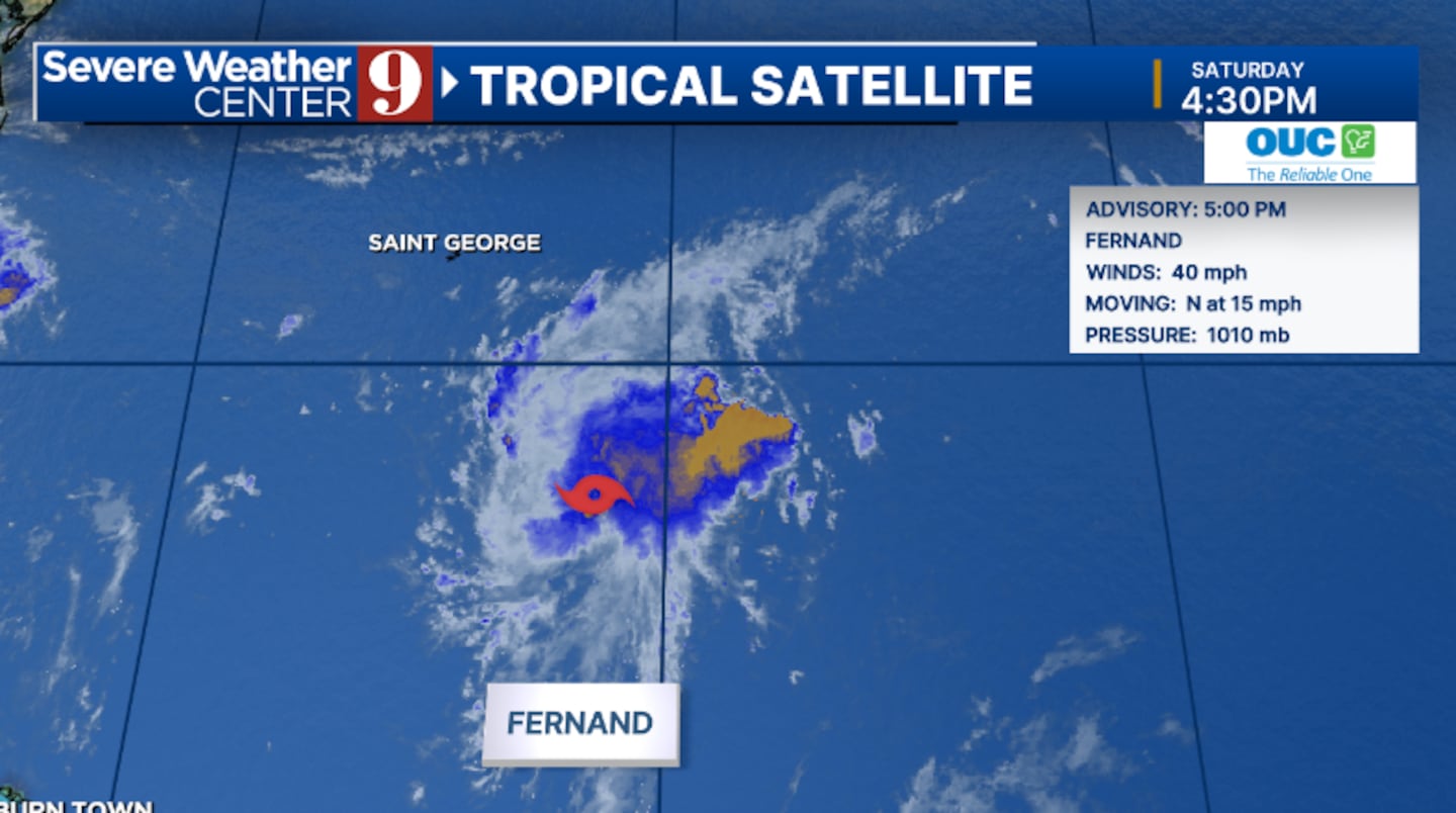
ORLANDO, Fla. — Tropical Storm Fernand formed Saturday evening in the open Atlantic and is expected to remain over open water.
The 5 pm advisory from the National Hurricane Center had winds of 40 mph.
Some strengthening is forecast, and the storm could be near hurricane strength early next week.
It is expected to weaken as it moves into the North Atlantic.
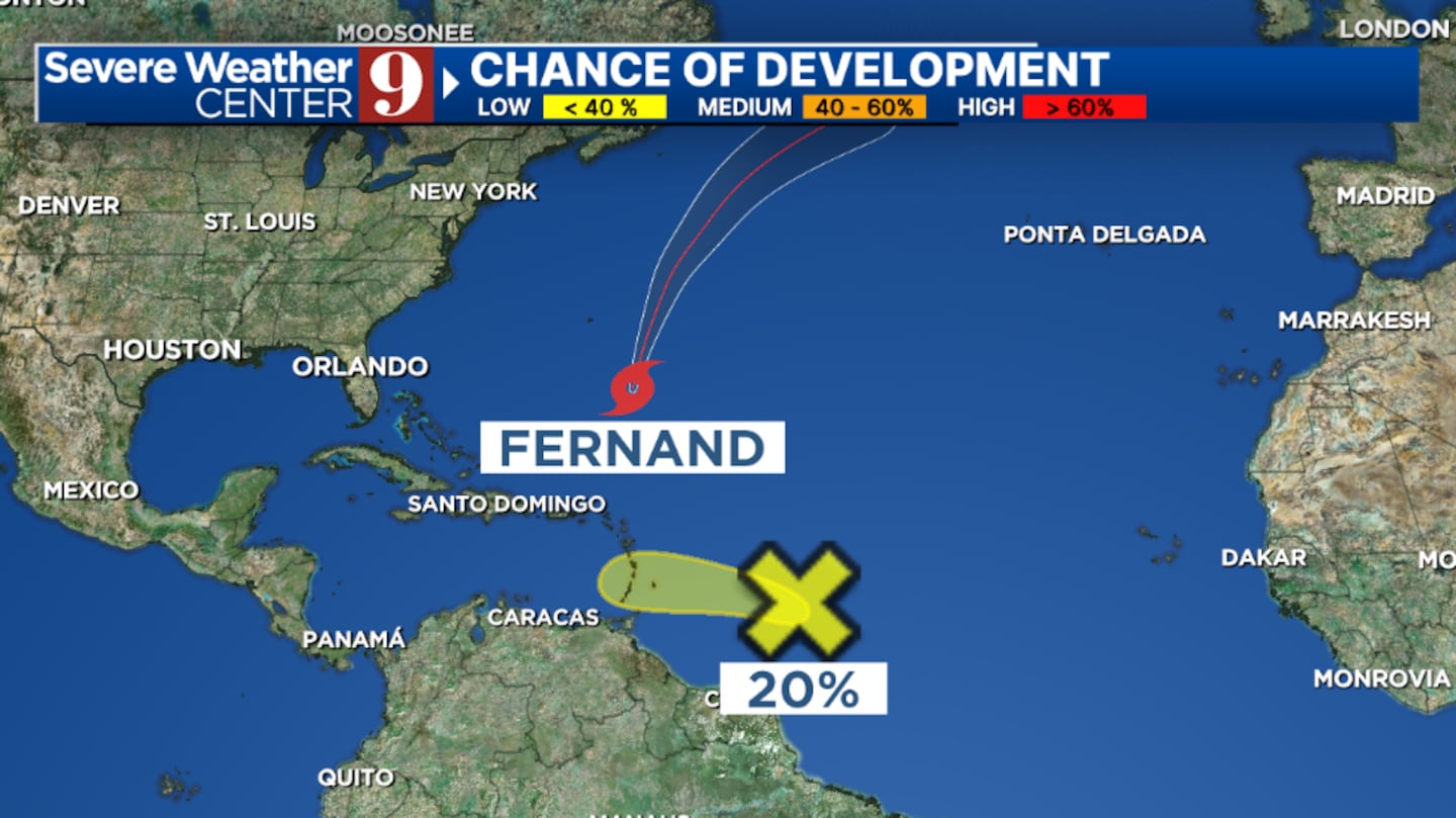
Fernand is anticipated to move north-northeast through the weekend, then turn to the northeast.
The storm will stay well away from Florida and the US and will remain over open water.
Fernand is the sixth named storm of the 2025 Atlantic hurricane season. The most recent storm, Erin, became post-tropical Friday evening.
Elsewhere, an area east of the Lesser Antilles has a Low Development Chance as it moves slowly westward.
Stay with Severe Weather Center 9 for the latest on the tropics.
▶ WATCH CHANNEL 9 EYEWITNESS NEWS

Read:
Read:
Read:
Click here to download our free news, weather and smart TV apps. And click here to stream Channel 9 Eyewitness News live.
©2025 Cox Media Group


