
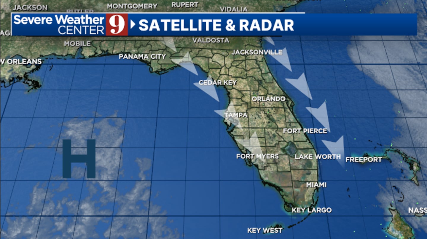
ORANGE COUNTY, Fla. — It was a sun-filled and pleasant Tuesday across the area, and more nice weather is ahead for midweek.
Clear skies and northwesterly winds will again allow temps to cool quickly tonight. We’ll see morning lows in the low 50s, with 40s again likely northwest of Orlando.
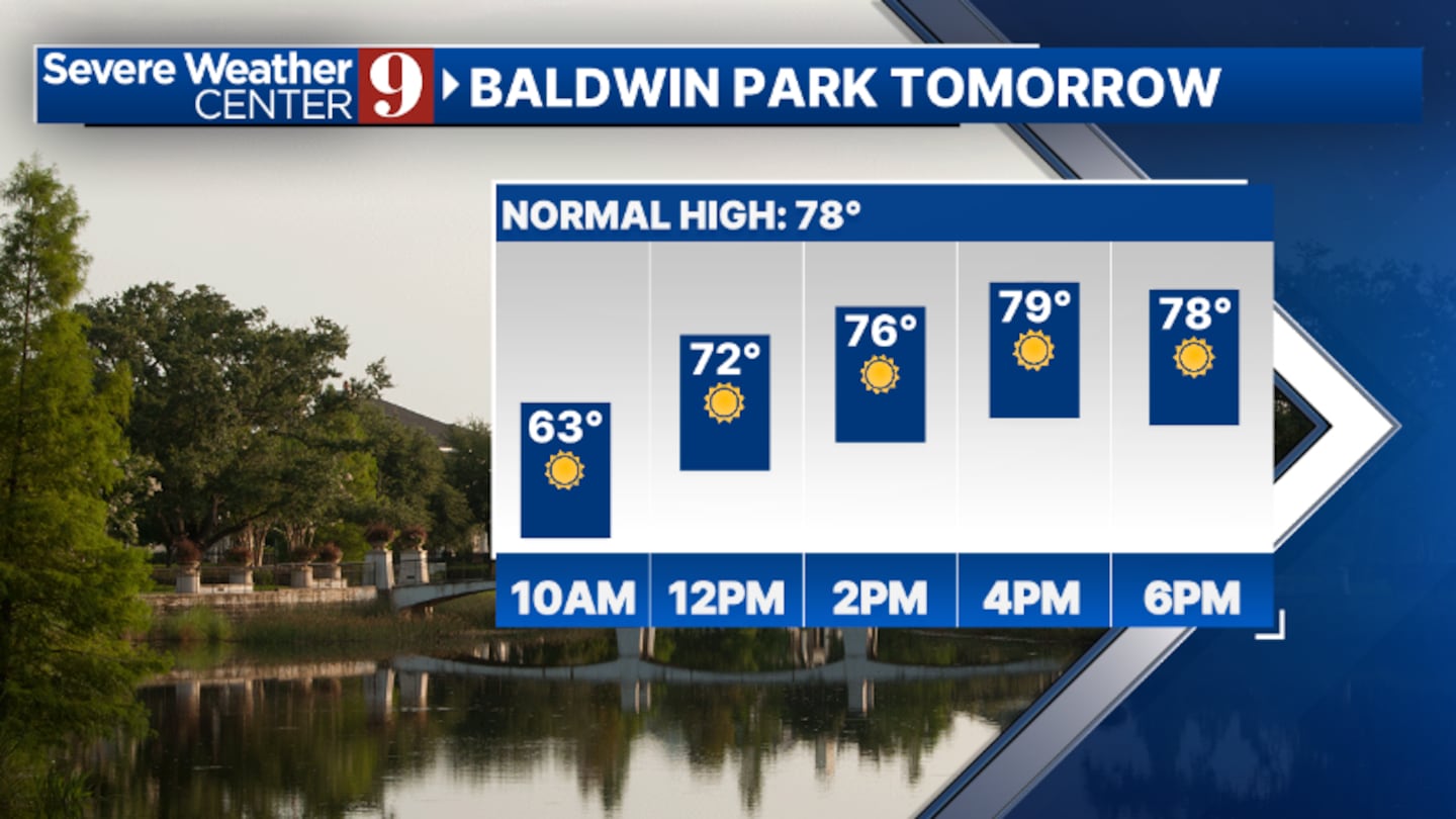
We start a warming trend Wednesday as a ridge of high pressure builds into the region. Plenty of sun is again expected, with highs in the low 80s.
A few clouds will return for Thursday and Friday, but dry conditions will continue. The warmth will also continue, with highs both days in the low to mid-80s.
Temps climb even further to start the weekend. A blend of sun and clouds is expected Saturday, with warm highs in the upper 80s.
Changes begin to arrive Sunday as a strong cold front approaches the area. Scattered showers and a few storms will move in Sunday evening and Sunday night, but much of the daytime hours will be dry. Highs for Sunday will again be in the upper 80s.
We’ll start St. Patrick’s Day with some rain and a few storms across the area, but the activity should exit later in the day. Temps for Monday will be in themed 70s.

Click here to download our free news, weather and smart TV apps. And click here to stream Channel 9 Eyewitness News live.

©2025 Cox Media Group


