ORLANDO, Fla. — Central Florida will start the work week with sunny and cooler temperatures, but a storm system will bring big changes.
▶ WATCH CHANNEL 9 EYEWITNESS NEWS
Cooler air moved into the region Sunday night, and dry and cool conditions are expected for Presidents’ Day.
We will see plenty of sunshine for the holiday, with below-average temps.
Highs will be in the upper 60s with steady northeasterly winds.
Read: President Trump makes pit stop at Daytona 500
Overnight tonight, expect clear skies and cool temps.
Tuesday morning’s lows will be in the low 50s, with the 40s likely northwest of Orlando.
Warmer weather quickly returns for Tuesday afternoon.
Read: Central Florida Dragon Parade rings in the year of the Snake
Expect partly cloudy skies and highs back in the mid-70s.
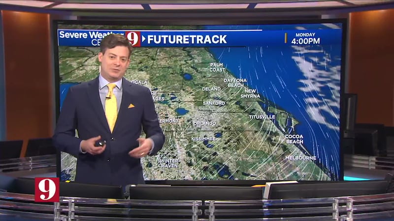
Rain chances move in for Wednesday as a strong cold front moves into the area.
Scattered showers and a few storms are expected, with warm highs in the low 80s.
Read: Virally famous PopUp Bagels pursues Central Florida locations
Behind the front, another round of cool air is expected.
Highs Thursday and Friday will be in the upper 60s with plenty of sunshine.
Another storm system moves in for the weekend, with temps holding in the upper 60s.
Follow our Severe Weather team on X for updates:

©2025 Cox Media Group


