
ORLANDO, Fla. — Storms are forming around the I-4 corridor this afternoon as seabreezes from the east and west coast meet, resulting in heavy rain and lightning.
The collision is anticipated to cause heavy rainfall, exceeding 2 to 3 inches, along with gusty winds and frequent lightning flashes.
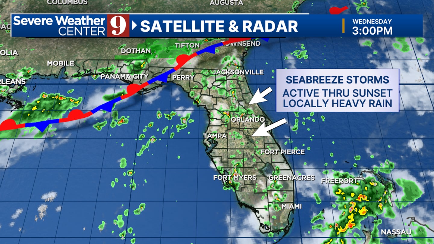
A weak front is expected to move southward into the area through Saturday.
This front will sustain high rain chances through the weekend, possibly prolonging the period of unsettled weather.
Click here to download our free news, weather and smart TV apps. And click here to stream Channel 9 Eyewitness News live.

©2025 Cox Media Group


