
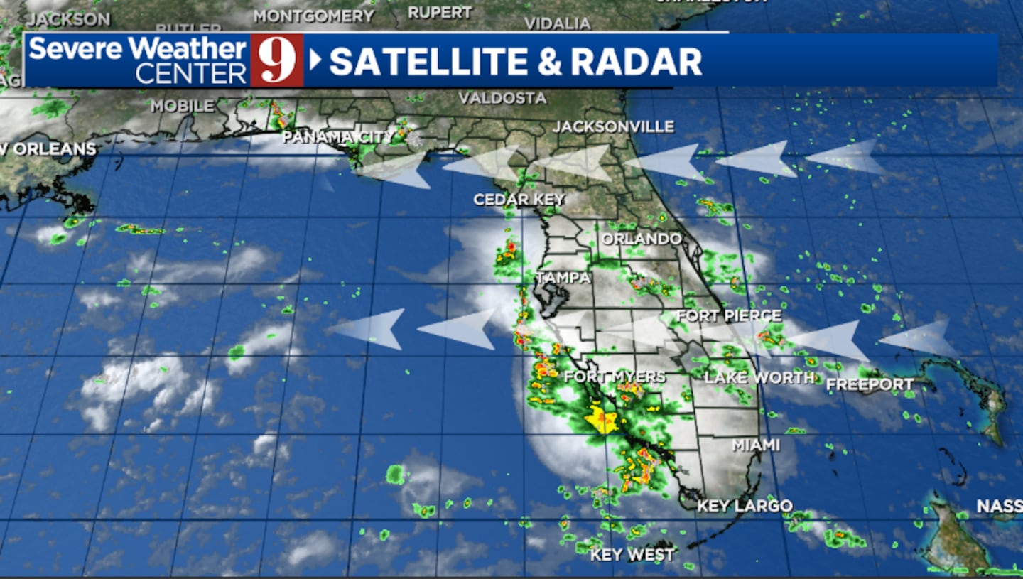
ORLANDO, Fla. — We saw higher coverage of PM storms Sunday, but drier air is on the way to start the work week.
Showers and storms will again wind down later this evening, with variable clouds overnight. Morning temps will be in the mid-70s.
Drier air will march into the area starting early Monday. This will result in just a few widely scattered PM storms, with highs in the low 90s.
The lower rain and storm chances will continue into midweek. Expect isolated PM storms across the area both Tuesday and Wednesday, with warmer highs in the mid-90s.
More moisture returns in the mid-90s for late week, with higher storm coverage expected. Many areas will still stay dry, with highs on Thursday and Friday in the mid-90s.
In the tropics, we are monitoring a trough of low pressure in the open Atlantic. This could organize into a subtropical system, but has a low chance of development.
Regardless of development, the system is moving away from Florida and the United States.
Click here to download our free news, weather and smart TV apps. And click here to stream Channel 9 Eyewitness News live.

©2025 Cox Media Group


