
ORLANDO, Fla. — After the rain ends this evening, we are tracking even more chances of rain leading into the weekend.
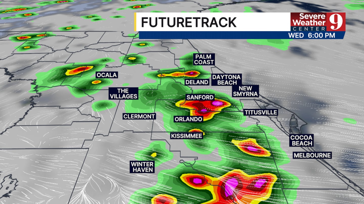
Typical afternoon seabreeze storms will be back in the forecast for Wednesday and Thursday.
Heavy rain, frequent lightning, and wind gusts up to 50 mph will be the biggest threats in any storms that develop over the next couple of days.
The timing of the storms will also be less frequent than what we’ve seen over the last few days.
Our best chances of rain will be on Wednesday and Thursday, between 4:00 p.m. and 7:00 p.m.
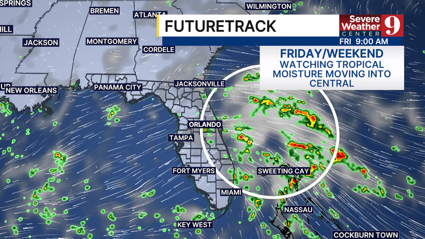
Tropical moisture will begin to move into central Florida on Friday from the Atlantic.
This will bring heavy rain chances back to central Florida this weekend. Classic severe weather is not expected, but just like we had the last few days, isolated flooding will be a threat. We are watching closely.
Temperatures will remain stable in the low 90s for the next 7 to 10 days.
Click here to download our free news, weather and smart TV apps. And click here to stream Channel 9 Eyewitness News live.

©2026 Cox Media Group


