ORLANDO, Fla. — Central Florida will see near-record high temperatures over the next few days.
▶ WATCH CHANNEL 9 EYEWITNESS NEWS
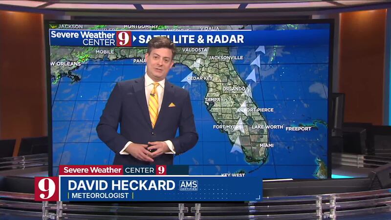
We will see partly cloudy skies across the area Wednesday, with strong southerly winds at times.
Highs will soar into the mid-80s by Wednesday afternoon.
An isolated shower will be possible Wednesday evening along the coast, but most will stay dry.
Read: Daytona Beach businesses are getting revved up for the big race
A few clouds will also be possible overnight, with warm lows in the upper 60s.
Changes arrive for Thursday as a cold front moves in.
Clouds will increase, with scattered showers and storms likely for Thursday.
Ahead of the front, it will be warm, with near-record highs in the upper 80s.
Read: ‘It was very scary’: Central Florida women survive a shark attack in the Bahamas
Cooler weather arrives for Valentine’s Day Friday, with a stray shower expected.
Highs for Friday will be in the upper 70s.
Saturday looks to feature some sunshine and warmer temps.
Read: FBI says it found 2,400 new JFK assassination records
Highs will start at the weekend in the mid-80s.
A stronger cold front moves in for Sunday, with more showers and storms expected.
The rain could impact the Daytona 500 on Sunday, with temps in the mid-80s.
Much cooler weather is expected next week, with highs in the 60s and 70s.
Click here to download our free news, weather and smart TV apps. And click here to stream Channel 9 Eyewitness News live.

©2025 Cox Media Group


